
- Main
-
Our services
- About the company
- Projects
- Job openings
- News
- Contacts


Electrical exploration
in various modifications
Electrical exploration methods
TEM (Transient electromagnetics methods)
The Transient electromagnetics methods is a pulse-based electrical exploration technique that focuses on analyzing the decay of magnetic fields generated by eddy currents (transient processes). These currents arise in conductive media when the primary magnetic field is abruptly turned off. 
01
VES - vertical electric sounding.
02
DES - dipole electric sensing.
03
Electrotomography
Electrotomography. A complex of geophysical surveys combining electrical profiling and electrical sounding. It is one of the main and most effective methods for shallow geophysical surveys.
04
IP-MG
IP-MG - Induced Polarization in the Midpoint Gradient modification.
05
Vector IP
Vector survey (Vector IP). The principle of vector surveys - measurements on the ground surface of two horizontal components of the electric field (Ex, Eu) from a dipole source. Based on the results, the values of polarisability vector and electrical resistivity vector are calculated.
06
TEM
TEM (Transient electromagnetics methods)
The Transient electromagnetics methods is a pulse-based electrical exploration technique that focuses on analyzing the decay of magnetic fields generated by eddy currents (transient processes). These currents arise in conductive media when the primary magnetic field is abruptly turned off.
07
Engineering problem solving
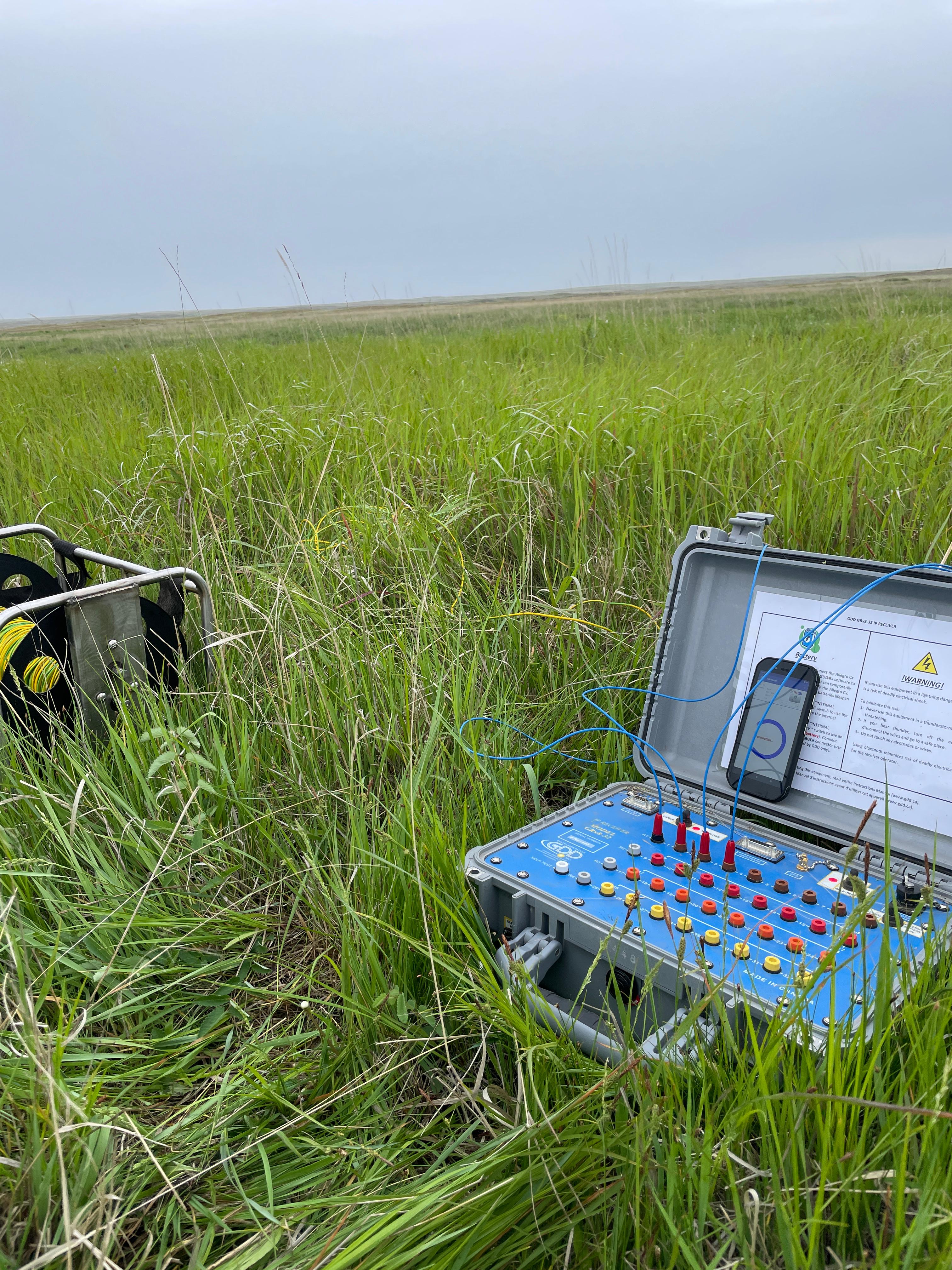
We use modern equipment manufactured by GDD Instrumentation (Canada)
Smart Geophysics Limited uses state-of-the-art hardware from GDD Instrumentation (Canada) to perform polarisation induced electrospecting. GDD's high-sensitivity EPS system stands out in the geophysical industry for its high equipment reliability and the ability to perform QA/QC (quality assurance and analysis) of data directly in the field.

Stages of work

Stage 1
Planning
-
 Defining the objectives and methods of the study
-
Development of a work execution plan
Stage 2
Fieldwork
-
Staff mobilisation
-
Reconnaissance and survey of the work site
-
Field data collection
Stage 3
Data processing
-
Analysis, processing and interpretation of the obtained data
-
Creation of graphic materials, maps, sections, models
Stage 4
Reporting
-
Preparation of the report and further recommendations
-
Presentation of results to the Customer
Frequently asked questions about electrical surveys
What tasks are electrical surveys suitable for?
They help investigate site structure, identify prospective zones and refine the geological model before subsequent exploration stages. The methods are also used for engineering-geological and hydrogeological tasks.
Which electrical survey methods are used?
The method is selected for the task. VES and dipole electrical sounding investigate the section with depth; electrical resistivity tomography produces detailed shallow sections; gradient induced polarization and Vector IP delineate areas of elevated chargeability; TEM investigates conductive targets. Methods are often combined.
How deep can electrical surveys investigate?
Depth of investigation depends on the method, rock resistivity, array size, terrain and noise conditions. It is estimated in the survey programme for each site; under favourable conditions it can reach up to 1,500 m.
What determines the scope, volume and cost of work?
They depend on the geological objective, area and terrain, access, target depth, required observation density and available source data. We prepare the programme and cost estimate after assessing these parameters.
Can the exact grade of a useful component be determined?
No. Geophysics identifies physical anomalies and narrows the search area. Composition must be confirmed by geological information, drilling and laboratory results.
What will the client receive?
Field and processed data, maps and sections, anomaly interpretation and a technical report with recommendations. The deliverables and formats are agreed in the terms of reference.
What should be prepared before work starts?
A description of the objective, site boundaries in coordinates or on a plan, available geological and drilling data, and the required output formats.
Order a callback