- Main
-
Our services
- About the company
- Projects
- Job openings
- News
- Contacts

Processing and interpretation
of geophysical data
Smart Geophysics applies modern software packages and methods of geophysical measurement data processing to improve the accuracy and detail of the data. The use of historical geologic data, such as archival maps, reports and drilling samples, can greatly enrich current geophysical studies. These materials help identify patterns and geologic structures that may have been missed in modern surveys.
High-quality data interpretation reduces the risks of erroneous decisions, thus avoiding additional drilling and exploration costs in inconclusive zones.
The Smart Geophysics team has many years of experience in processing and interpreting geophysical data, which guarantees high quality results.
Our solutions can be customized for specific tasks and geological conditions, which increases their value to customers.
Stages of work

Stage 1
Planning
-
 Defining the objectives and methods of the study
 -
Development of a work execution plan
Stage 2
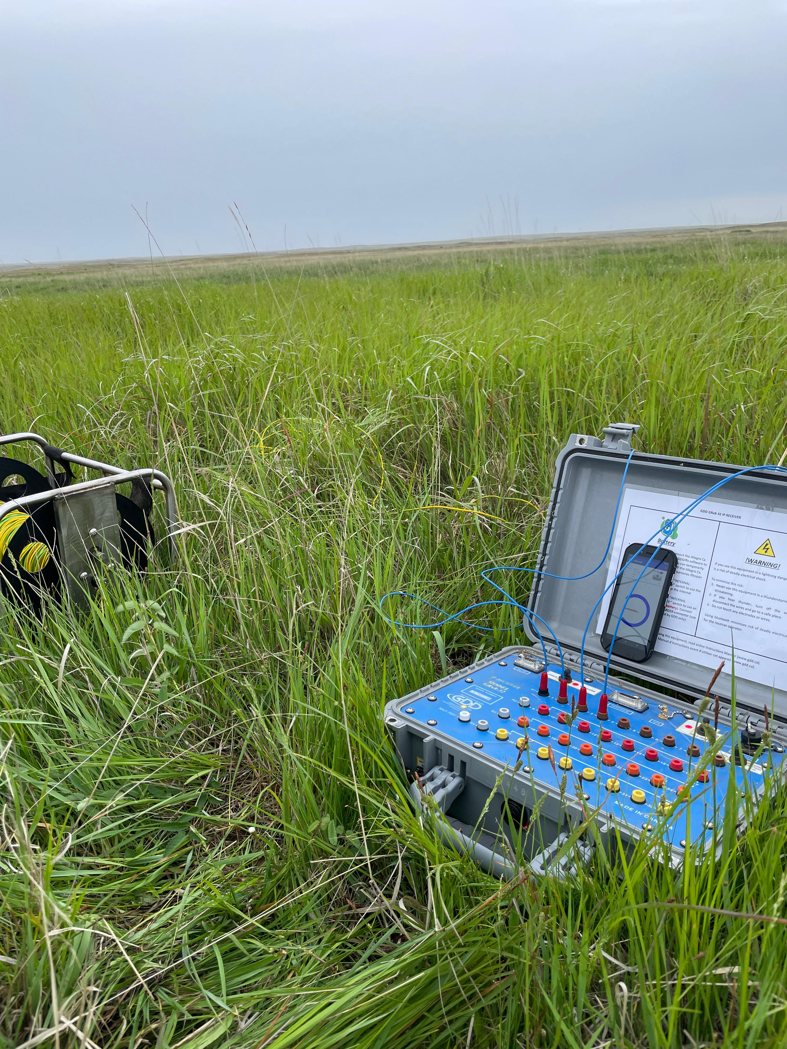
Fieldwork
-
Staff mobilisation
-
Reconnaissance and survey of the work site
-
Field data collection
Stage 3
Data processing
-
Analysis, processing and interpretation of the obtained data
-
Creation of graphic materials, maps, sections, models
Stage 4
Reporting
-
Preparation of the report and further recommendations
-
Presentation of results to the Customer
Order a callback