- Main
-
Our services
- About the company
- Projects
- Job openings
- News
- Contacts

Magnetic reconnaissance
using UAVs
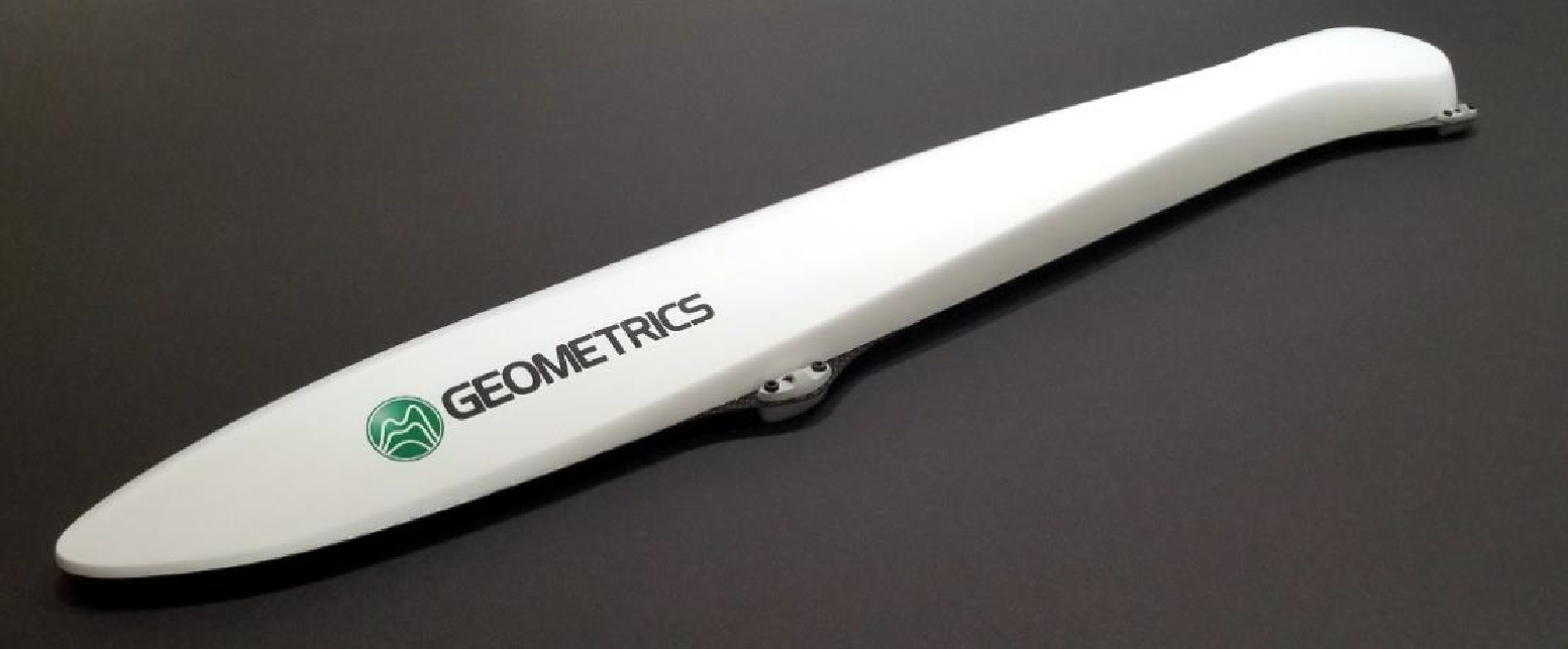
Smart Geophysics provides UAV aeromagnetic survey services using a scalar magnetometer with laser pumping of caesium vapour MagArrow manufactured by Geometrics (USA).
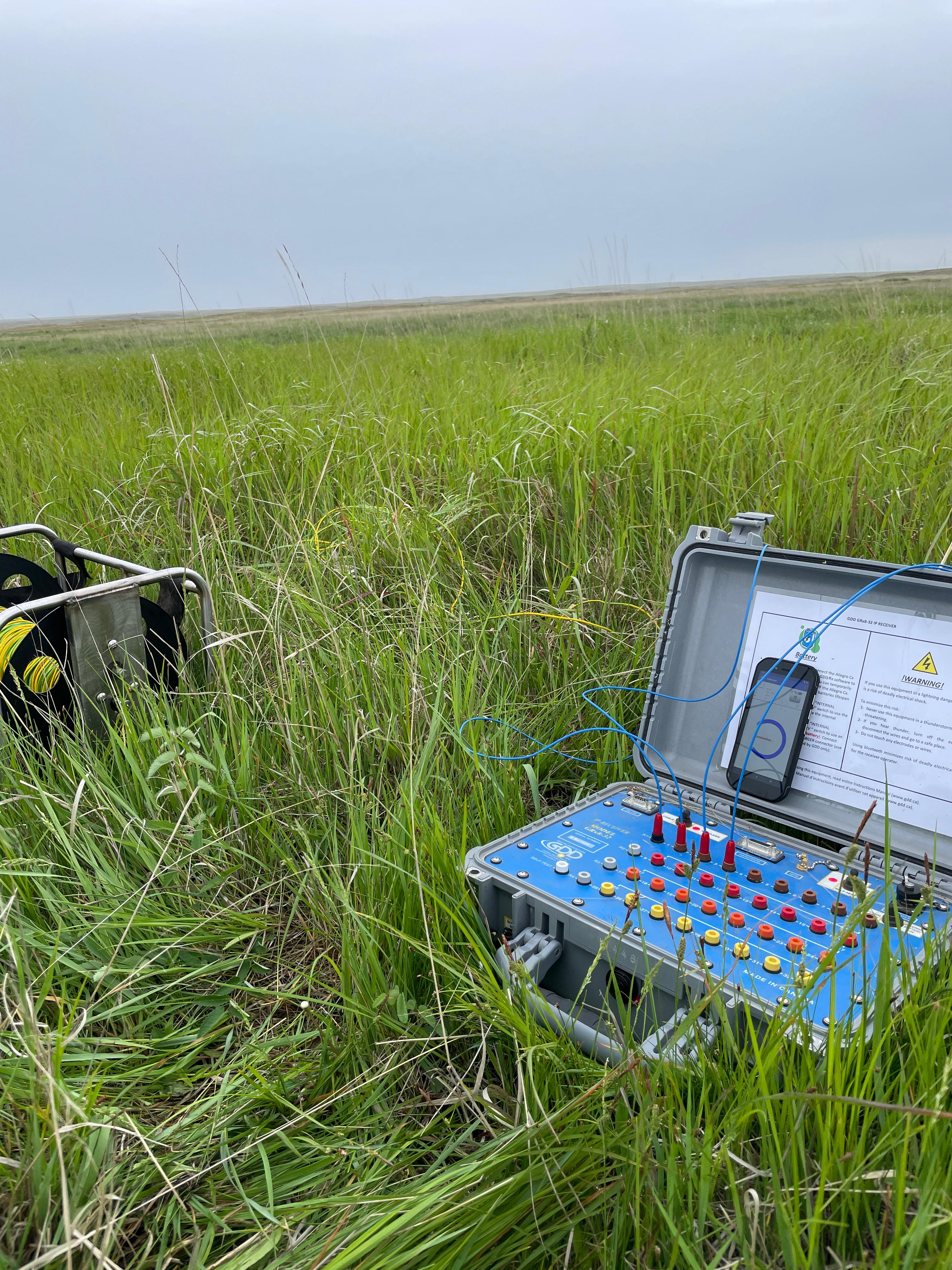
The MagArrow magnetometer is easily installed on UAVs of various modifications. The 1000 Hz sampling rate is synchronised with the built-in GPS unit, allowing the system to operate independently of the UAV and its software. Thanks to this high sampling rate, imaging can be carried out at speeds of up to 10 m/s, with counts taken every 1 cm.
Carrying platform: The DJI Matrice 350RTK drone is a professional industrial quadcopter with high performance and reliability. It has a strong propulsion system, high level of protection and excellent flight characteristics that enable it to successfully handle various tasks.
We use modern equipment manufactured by Geometrics (USA)
MagArrow - an advanced tool enables high-precision magnetic field measurements, providing high resolution and data quality for detailed geophysical analyses. The use of modern UAVs in combination with MagArrow's advanced equipment allows surveying in difficult and hard-to-reach areas, which significantly increases the efficiency of work and reduces the time required to complete tasks
Stages of work

Stage 1
Planning
-
 Defining the objectives and methods of the study
 -
Development of a work execution plan
Stage 2
Fieldwork
-
Staff mobilisation
-
Reconnaissance and survey of the work site
-
Field data collection
Stage 3
Data processing
-
Analysis, processing and interpretation of the obtained data
-
Creation of graphic materials, maps, sections, models
Stage 4
Reporting
-
Preparation of the report and further recommendations
-
Presentation of results to the Customer
Order a callback